Inveraray Castle
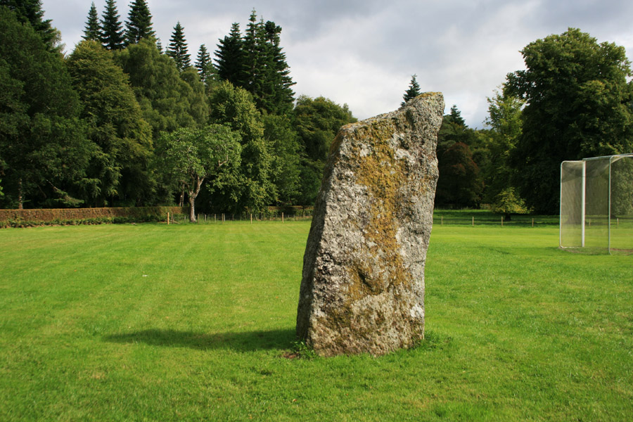
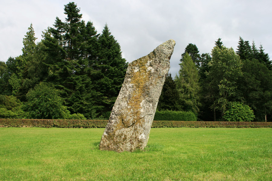
This standing stone is a tall slab, and stands at the edge of a shinty pitch in the grounds of Inveraray Castle.
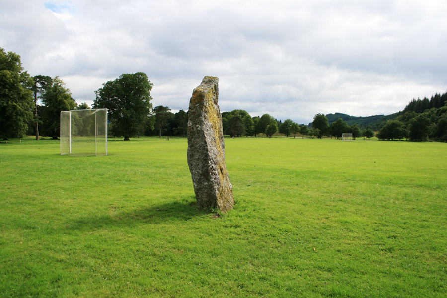
Measuring around 1.3m wide at the base by 0.5m thick, it rises to a height of around 2.8m and is aligned north-north-east by south-south-west.


Where is Inveraray Castle?
Inveraray Castle is in the parish of Inveraray and the county of Argyll.
Grid reference: NN 0946 0904
Lat / long: 56.235644, -5.075806
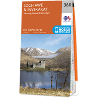
OS Map for Inveraray Castle
Directions to Inveraray Castle
Enter a starting point
Get directions

Weather at Inveraray Castle
5°C
max 5°C / min 5°C
max 5°C / min 5°C
4km/h E
1006mb
93%
41%
04:45 19:49
1006mb
93%
41%
04:45 19:49
Scattered clouds
Weather observed at Garelochhead at 23:39
References (websites)
Ancient sites near Inveraray Castle
Castles near Inveraray Castle
Pictish stones near Inveraray Castle


Pictish sites near Inveraray Castle
Accommodation near Inveraray Castle
Inveraray SYHA Hostel
0.4km away
Argyll Hotel, Inveraray
0.5km away
Loch Fyne Hotel And Spa
1.2km away
The Creggans Inn
6.8km away
Cairndow Stagecoach Inn
9.1km away
Drimsynie House Hotel
12.4km away
Lochgoilhead Hotel
13.0km away
Collaig House B&B
13.9km away
Taychreggan Hotel
14.0km away
Rowan House
16.6km away
Accommodation search
Cafés, restaurants & bars near Inveraray Castle
Loch Fyne Hotel And Spa
1.2km away
Cairndow Stagecoach Inn
9.1km away
The Drover's Inn
24.1km away
Cuilfail Hotel
26.1km away
Knipoch House Hotel
28.0km away
Rowardennan Hotel
28.2km away
Loch Melfort Hotel
29.6km away
Loch Lomond Arms Hotel
30.8km away
Ardencaple Hotel
31.3km away
Oban Caledonian Hotel
31.4km away


