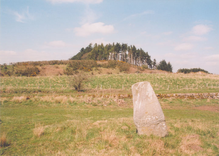
Gleneagles B
This stone stands around 1.5m tall, a short distance from it’s neighbour Gleneagles A.
On the NNE face there are carved Pictish images of a goose over a rectangle.


Alternative names for Gleneagles B
Blackford, Loaninghead, Peterhead Farm
Where is Gleneagles B?
Gleneagles B is in the parish of Blackford and the county of Perthshire.
Grid reference: NN 9243 0980
Lat / long: 56.26855243, -3.737585623
OS Map for Gleneagles B
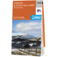

Crieff, Comrie & Glen Artney (Strathearn & Auchterarder)
OS Explorer map OL47
Buy from Ordnance Survey
OS Explorer map OL47
Buy from Ordnance Survey
Directions to Gleneagles B
Enter a starting point
Get directions

Weather at Gleneagles B
6°C
max 7°C / min 5°C
max 7°C / min 5°C
12km/h NNW
1010mb
66%
99%
04:45 19:40
1010mb
66%
99%
04:45 19:40
Overcast clouds
Weather observed at Auchterarder at 21:20
References (websites)
Ancient sites near Gleneagles B
Castles near Gleneagles B
Pictish stones near Gleneagles B

Pictish sites near Gleneagles B
Accommodation near Gleneagles B
Duchally Country Estate
1.2km away
Gleneagles Hotel
1.9km away
Cairn Lodge Hotel
2.7km away
Blackford Hotel
3.0km away
Glendevon Hotel
3.3km away
An Lochan Tormaukin
8.6km away
Castle Campbell Hotel
12.4km away
Sheriffmuir Inn
12.4km away
Merlindale
12.4km away
James Cottage Guest House
13.1km away
Accommodation search
Cafés, restaurants & bars near Gleneagles B
An Lochan Tormaukin
8.6km away
Sheriffmuir Inn
12.4km away
Crieff Hydro Hotel and Leisure Resort
13.8km away
Knock Castle Hotel & Spa
14.2km away
Famous Grouse Experience
15.4km away
Torlum Café, Auchingarrich
16.9km away
Windlestrae Hotel and Leisure Club
20.4km away
The Green Hotel Golf & Leisure Resort
20.5km away
Premier Inn Stirling City Centre
20.5km away
The Stirling Highland Hotel
20.8km away


