Falls of Acharn
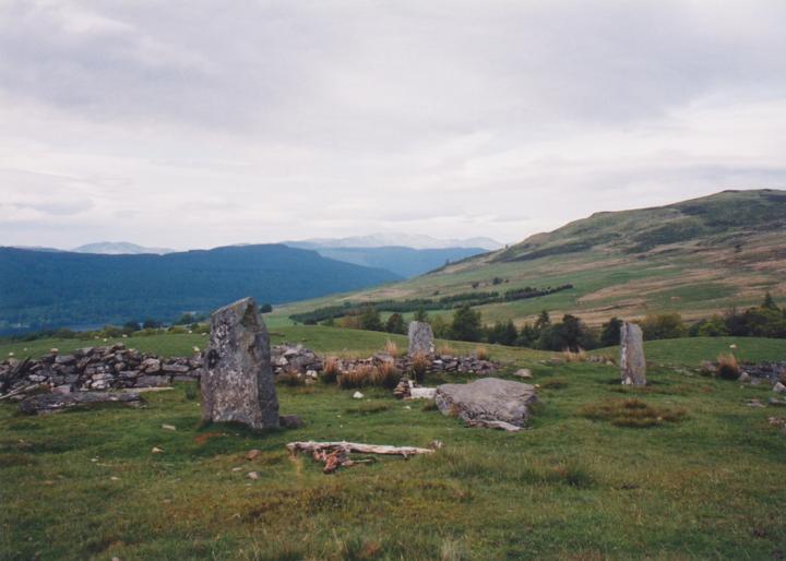
The stones of the Acharn Falls circle are arguably the best-positioned in Perthshire. Standing at a height of 378m above sea-level, the site commands breath-taking views across Loch Tay towards Ben Lawers and Schiehallion. Apparently formerly within a plantation, the stones now stand out in the open, and even a dry-stane dyke bisecting the circle doesn’t diminish it’s impressiveness.
A much disturbed site, of the original nine stones, four are still upright, while two others lie close to their original positions. Amongst debris from the dyke are what look like the broken-up remains of the missing three stones.
Excavation in 1924 revealed a shallow patch, around 0.60m square, of burnt earth, charcoal and calcined bones. Around this the soil was red in colour, which Burl suggests is where a pyre once burned.


Alternative names for Falls of Acharn
Acharn Falls; Auchlaicha; Greenland
Where is Falls of Acharn?
Falls of Acharn is in the parish of Kenmore and the county of Perthshire.
Grid reference: NN 7678 4249
Lat / long: 56.55747347, -4.006307129
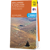
OS Map for Falls of Acharn

Directions to Falls of Acharn
Enter a starting point
Weather at Falls of Acharn
max 5°C / min 4°C
1013mb
87%
86%
04:57 19:31
Overcast clouds
Weather observed at Aberfeldy at 05:29

References (books)
London and New Haven, 1976


