Edinchip
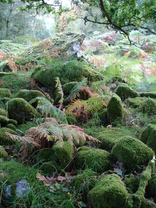
Edinchip is a Clyde-type long chambered cairn measuring some 56 metres in length, oriented ENE-WSW. It was discovered in 1980 and is originally thought to have stood 2 metres in height – a height still attained at each end but reduced to 1m by quarrying at the centre. At each end it measures 16 metres in width which is partly due to spreading over time, while at the centre quarrying has again had an impact, reducing the width to 13 metres.
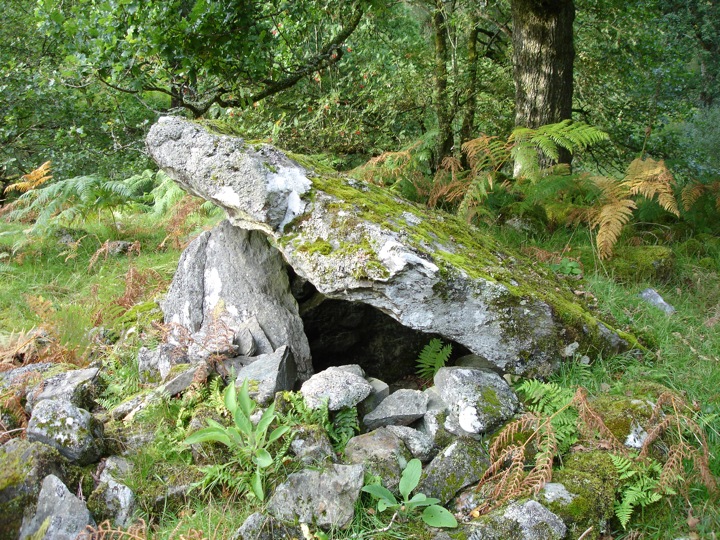
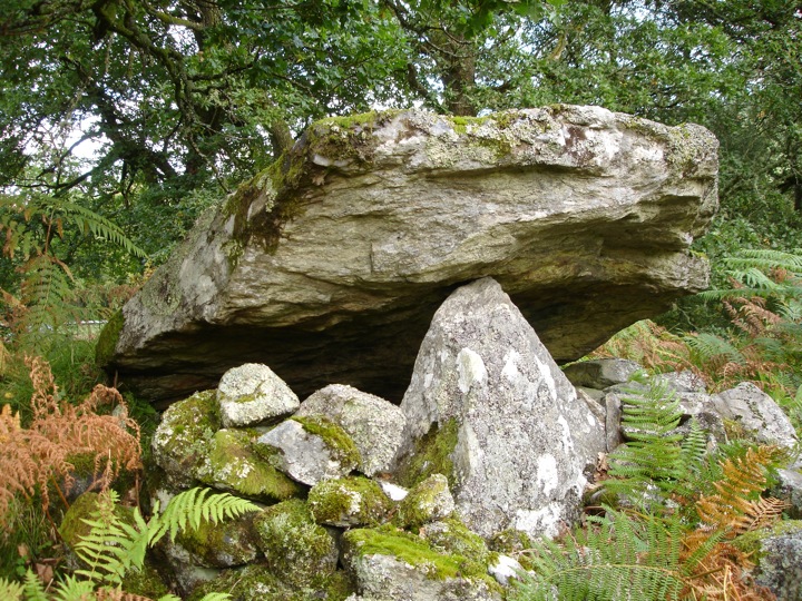
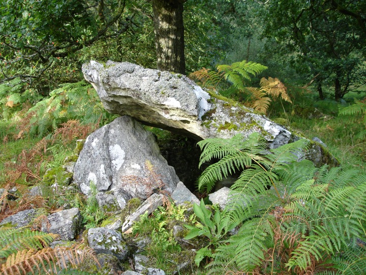
At the north-east end is an axial chamber topped with a massive capstone measuring approximately 2 metres square, propped up at an angle of 45 degrees on its supporting stones. The remains of at least one other chamber can be seen 5 metres to the south-west of the main chamber, while a possible third may have existed a further 7 metres to the south-west.


Where is Edinchip?
Edinchip is in the parish of Balquhidder and the county of Perthshire.
Grid reference: NN 5750 2185
Lat / long: 56.36710035, -4.307210055
OS Map for Edinchip
Directions to Edinchip
Enter a starting point


Weather at Edinchip
max 5°C / min 5°C
1016mb
62%
88%
05:04 19:28
Overcast clouds
Weather observed at Callander at 07:58


