Cnoc Ceann a' Gharraidh
Cnoc Ceann a’ Gharraidh stands on low ground between Cnoc Fillibhir Bheag and Loch Ceann Hulabhig.
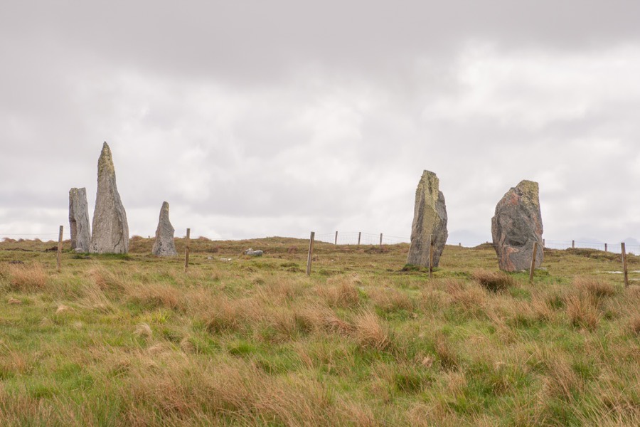
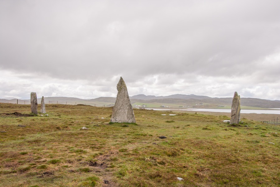
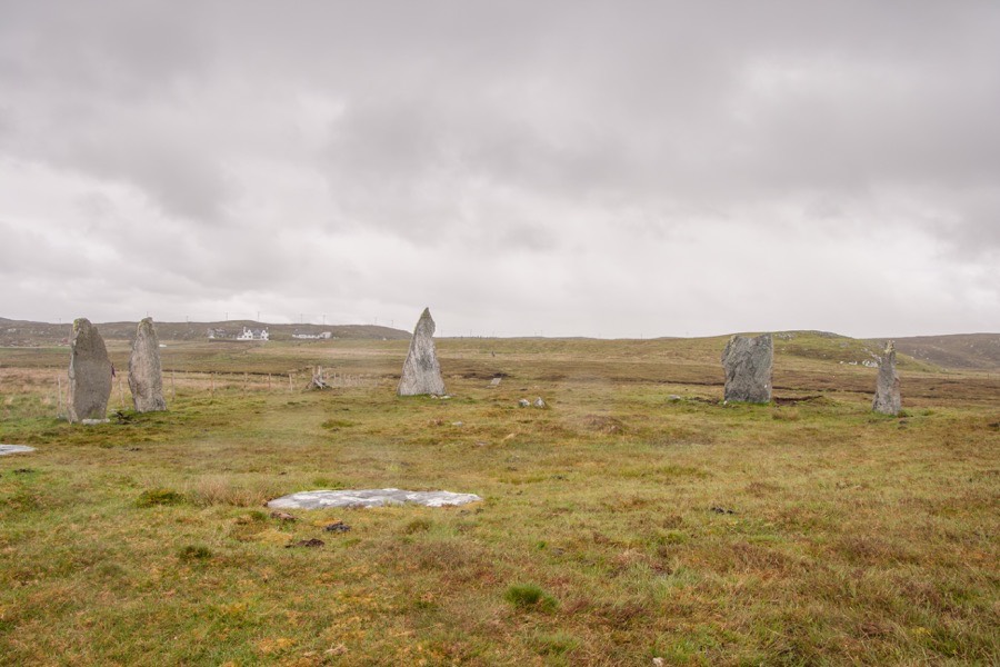
It consists of 5 erect stones and two prostrate, measuring between 2.00m and 3.25m in height, standing on a circle of approximately diameter 20.00m. One of the stones is a fantastic triangular shape. At the centre of the circle are the remains of a cairn.


Alternative names for Cnoc Ceann a' Gharraidh
Calanais; Callanish II; Ceann A'Gharaodh; Cnoc Ceann; Knock Caenn a Gharie; Loch Roag
Where is Cnoc Ceann a' Gharraidh?
Cnoc Ceann a' Gharraidh is in the parish of Uig and the county of Ross and Cromarty.
Grid reference: NB 2221 3261
Lat / long: 58.19477778, -6.728310049
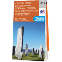
OS Map for Cnoc Ceann a' Gharraidh
Directions to Cnoc Ceann a' Gharraidh
Enter a starting point
Get directions


Weather at Cnoc Ceann a' Gharraidh
7°C
max 7°C / min 6°C
max 7°C / min 6°C
11km/h NE
1007mb
77%
62%
04:47 20:01
1007mb
77%
62%
04:47 20:01
Broken clouds
Weather observed at Stornoway at 18:49
References (books)
References (websites)
Ancient sites near Cnoc Ceann a' Gharraidh
Castles near Cnoc Ceann a' Gharraidh
Pictish stones near Cnoc Ceann a' Gharraidh

Pictish sites near Cnoc Ceann a' Gharraidh
Accommodation near Cnoc Ceann a' Gharraidh
Valasay Self Catering Holidays
10.0km away
Garenin SYHA Hostel
11.6km away
Kershader SYHA Hostel
17.1km away
Heb Hostel
20.1km away
Cairn Dhu Apartment
20.3km away
Solas
20.3km away
Holm View Guest House
24.5km away
Amhuinnsuidhe Castle
30.2km away
Rhenigidale SYHA Hostel
30.8km away
Hotel Hebrides
33.3km away
Accommodation search
Cafés, restaurants & bars near Cnoc Ceann a' Gharraidh
Hotel Hebrides
33.3km away
The Old Inn
81.7km away
Ullinish Lodge Hotel
95.1km away
Ullapool Hotel
98.4km away
Duisdale House Hotel
127.5km away
The Old Forge
142.5km away
Ben Wyvis Hotel
145.2km away
Cluanie Inn
148.6km away
Tulloch Castle Hotel
149.4km away
Ord House Hotel
151.6km away


