Clach Ossian
This has to be the biggest cist cover ever!
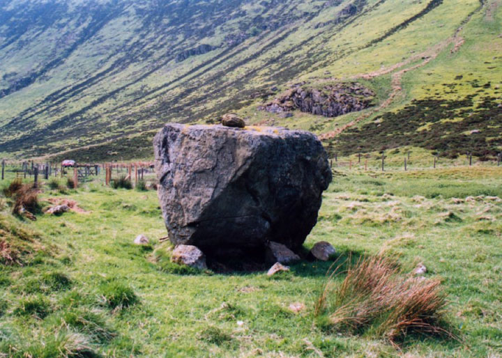
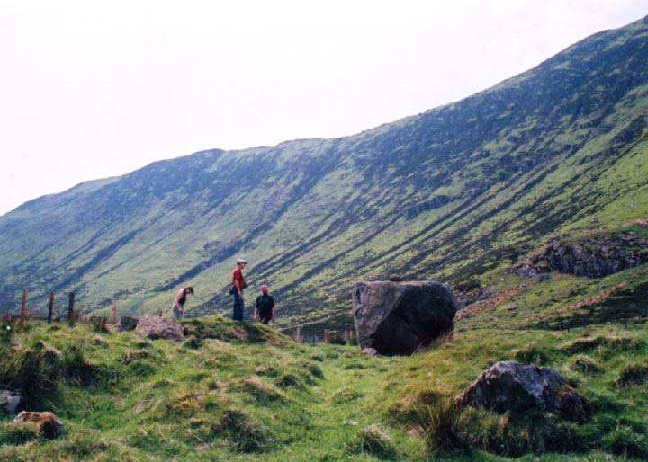
Clach Ossian is a massive square boulder measuring 2.2 metres wide by around 1.5 metres deep and tall. It stands at the centre of a circular enclosure around 61 metres in diameter, surrounded by a turf-covered stone wall which rises to a height of around 0.9 metres.
The stone was moved from its original position when General Wade‘s Military Road was being built – the builders obviously used the stone as a target from further down the Sma’ Glen then had to move it when they reached it.
Underneath it was found a cist approximately 0.6 metres square, within which was found bones and “pieces of coin” which may actually have been part of some bronze implement.
Nothing now remains of the cist as it was destroyed by the road builders, but it’s “cover” still stands next to the old road.

There appears to have been some confusion regarding the use of the names Clach Ossian, Giant’s Grave and Soldier’s Grave over the years. A narrow grassy mound here is known as the Soldier’s Grave and is supposedly the burial site of one of Wade’s road builders who died during construction. This is sometimes wrongly referred to as the Giant’s Grave. The real Giant’s Grave is a cairn further down the glen.


Alternative names for Clach Ossian
Cairn Ossian; Clach-Na-Ossian; Ossian's Grave; Ossian's Stone
Where is Clach Ossian?
Clach Ossian is in the parish of Fowlis Wester and the county of Perthshire.
Grid reference: NN 8953 3060
Lat / long: 56.45468801, -3.793140897
OS Map for Clach Ossian

OS Explorer map OL47
Buy from Ordnance Survey

Directions to Clach Ossian
Enter a starting point


Weather at Clach Ossian
max 10°C / min 6°C
1003mb
60%
100%
04:42 19:43
Overcast clouds
Weather observed at Perth and Kinross at 14:00


