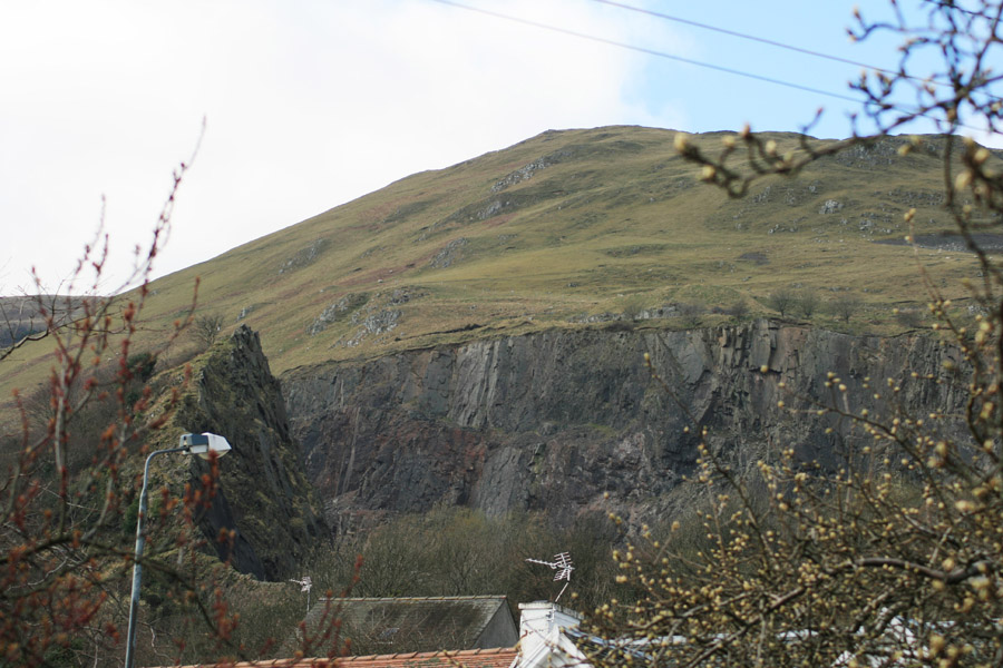
Castle Craig
Castle Craig fort occupied a position on a promontory (known as Castle Craig) projecting above what is now Tillicoultry, but nothing now remains as it was destroyed by quarrying.
Originally it consisted of a central circular enclosure with a diameter of around 35 metres, with walls some 3 to 4 metres thick. Around this were two further concentric walls, spaced at a distance of around 7.5m.
Approximately 10m to the north of the concentric rings was a rock-cut ditch, backed up with a stone wall, running across the promontory and cutting off the tip on which the fort stood. This formed an area of some 90m wide by 60m deep.
Writing in 1875, the antiquary Miss Christian Maclagan notes that some locals recalled that within living memory the fort had a roof made of stone, although they couldn’t describe what the roof was like, so perhaps it was a mistake or an invention.
By the mid-1950s the nearby quarry was encroaching on the fort, and by the mid-1960s it had destroyed it completely.


Alternative names for Castle Craig
Tillicoultry; Tillicoultry Castle
Where is Castle Craig?
Castle Craig is in the parish of Tillicoultry and the county of Clackmannanshire.
Grid reference: NS 9116 9769
Lat / long: 56.159463, -3.753911
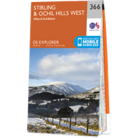
OS Map for Castle Craig
Directions to Castle Craig
Enter a starting point

Weather at Castle Craig
max 11°C / min 9°C
1012mb
94%
100%
05:00 19:27
Overcast clouds
Weather observed at Clackmannanshire at 14:08


